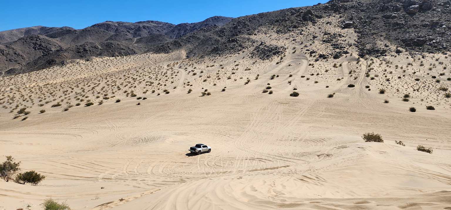
There are unforgettable adventures to be found wherever you are.
No one knows that better than our engineering team, who regularly head out into the wild to validate vehicle capabilities, test components and spend quality time on the trail.
Meet Matt Trainham, Rivian Director of Global Vehicle Testing. We caught up with him about Johnson Valley, a 96,000-acre BLM off-road area in Southern California's Mojave Desert, and the annual Optima Unplugged trail ride event. Here are his top tips and recommendations.
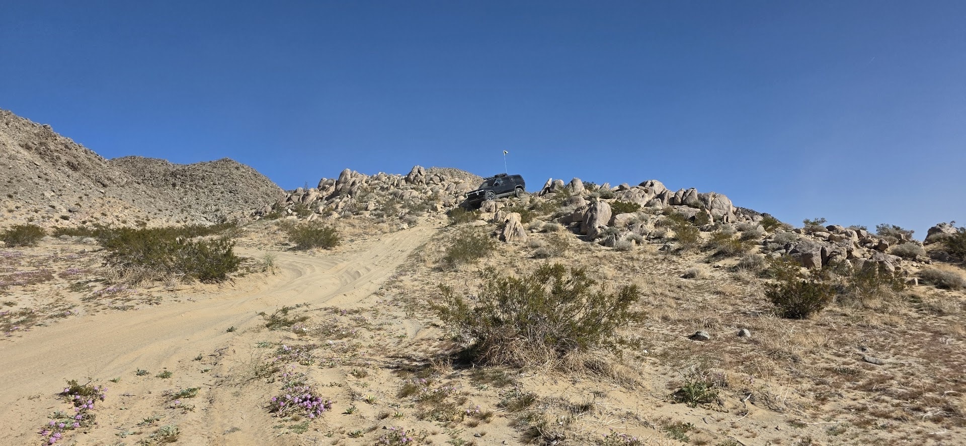
Level
This route is a loose connection of the valley's major terrain features and points of interest. It’s typical of what we’ve run with the local Rivian Clubs of America chapters¹ for the yearly Optima Unplugged trail ride, and it’s a great introduction to Johnson Valley.
“Johnson Valley is one of the best desert recreation spaces in the country, with a great mix of terrain, scenery and challenge levels. That’s one of the reasons it plays host to world-class competitive events like King of the Hammers. It’s also highly accessible, and its relatively high elevation (2,600’+) keeps temperatures moderate earlier in the season. This is the time of year to get out and explore.”
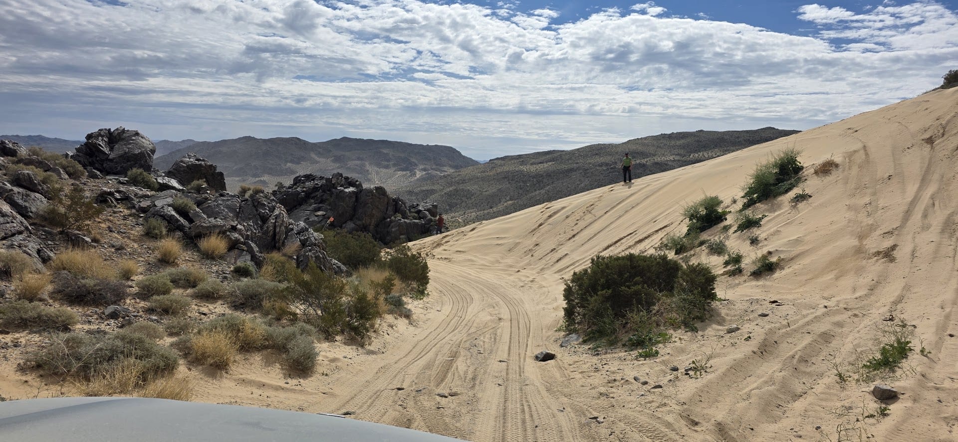
Minimum difficulty is Green / Easy / 2–3 out of 10. Your real concerns are soft sand, small sharp rocks and rolling desert elevation changes. The hardest, optional, sections on the main route are Medium / Blue / 5 out of 10. Optional lines and offshoots abound and it's easy to get in over your comfort level quickly, so use caution when exploring unfamiliar areas.
The route
I'd recommend connecting the dots clockwise.
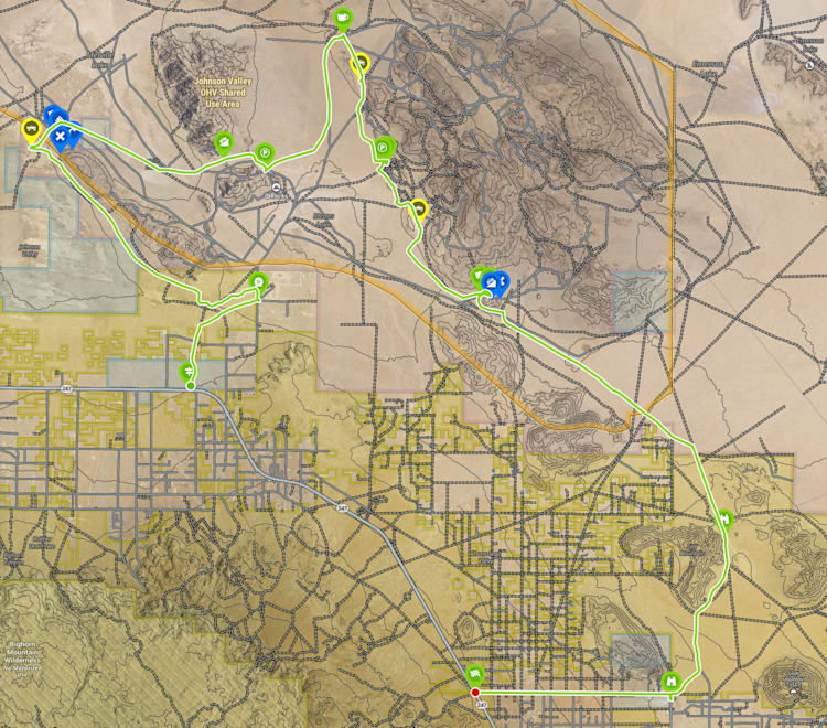
Boone Road entrance — Enter the valley on Boone Road (graded dirt) off Highway 247 (34.3688, -116.54585).
The Forty — Gather your group and air down outside The Forty at Boone and Barnes Road (34.39062, -116.52549).
Little Dunes — Pick a trail or take the main wash along the base of the ridge to the northwest, aiming for the Little Dunes area (34.42775, -116.59204). Enjoy the dunes, but practice safe spotting and stopping. Stay visible, especially while climbing and cresting.
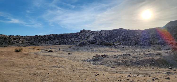
Melville Dry Lake — From the dunes, continue around the point of the ridgeline to the northeast and onto Melville Dry Lake. You'll cross multiple race-course trails here; be wary of sudden drops into big cross-ruts on the otherwise table-smooth lakebed. Explore the southwestern region, then head for the saddle at 34.4245, -116.53547 to cross into the Means Dry Lake valley. An optional detour to the southeast will let you check out Backdoor, one of the signature maximum-difficulty rock crawling obstacles in the area (34.42179, -116.52347).
Means Dry Lake — Pick a trail and head north across Means. During the Hammers race this entire space fills with campers and racers, but it's tranquil and deserted most of the year. Aim for the north point of the eastern ridge (34.45456, -116.50052), which opens to a secluded smaller dry lake and valley. It hosts an overlanding-focused campout during race week and makes a great lunch spot.
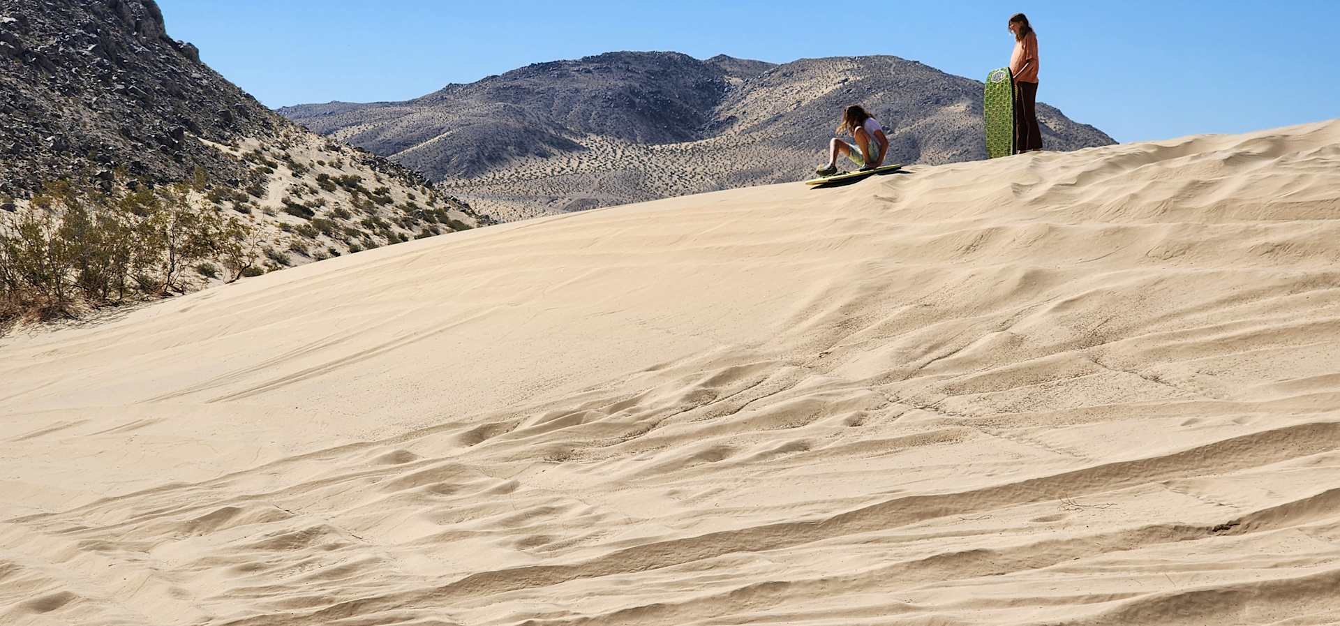
Points of Interest, Means Dry Lake East Side — Head south along the eastern edge of the ridge to Pacifico Dunes (34.44358, -116.49555) with steep, 100-foot sand dunes on your right and rocky ex-volcanic desert on your left. Continue south to Chocolate Thunder (34.42346, -116.4878), another infamous Hammers obstacle where competitors race up a rocky, sandy canyon. Reach the top via an optional Medium trail from the east, or take the easier western approach from Means. Further south, Colossal Dunes (34.40827, -116.47849) are the area’s largest open-face sand hills at 200’+. Bring your sleds!
Horsepower Hill — Head south-southeast from Colossal and approach from the west (entry: 34.392, -116.46025) for an easy climb. Do not attempt the sand section from the east or south unless you’re very comfortable backing down sand grades. The top (34.39158, -116.45746) gives a great view east toward Emerson Dry Lake and the Marine Corps range. Return down the western entry, or if you’re comfortable in soft sand, “ski” your vehicle down the winding sand slot canyon (34.39036, -116.45706), exiting at 34.39075, -116.45451.
Giant Rock — Finish the loop with some wide-open cross-country desert running to the southeast. Giant Rock (34.33301, -116.38867) is rumored to be the largest free-standing boulder in the world. It was an underground home to a miner in the 1940s and lent its name to the nearby Giant Rock Airport, a UFO hotspot starting in the 1950s. The area has gotten repeated cleanup attention from local RCA clubs and is in much better shape for it. From here, head to Landers, CA and take Linn Road west to rejoin Highway 247 and head home.
Trail tips
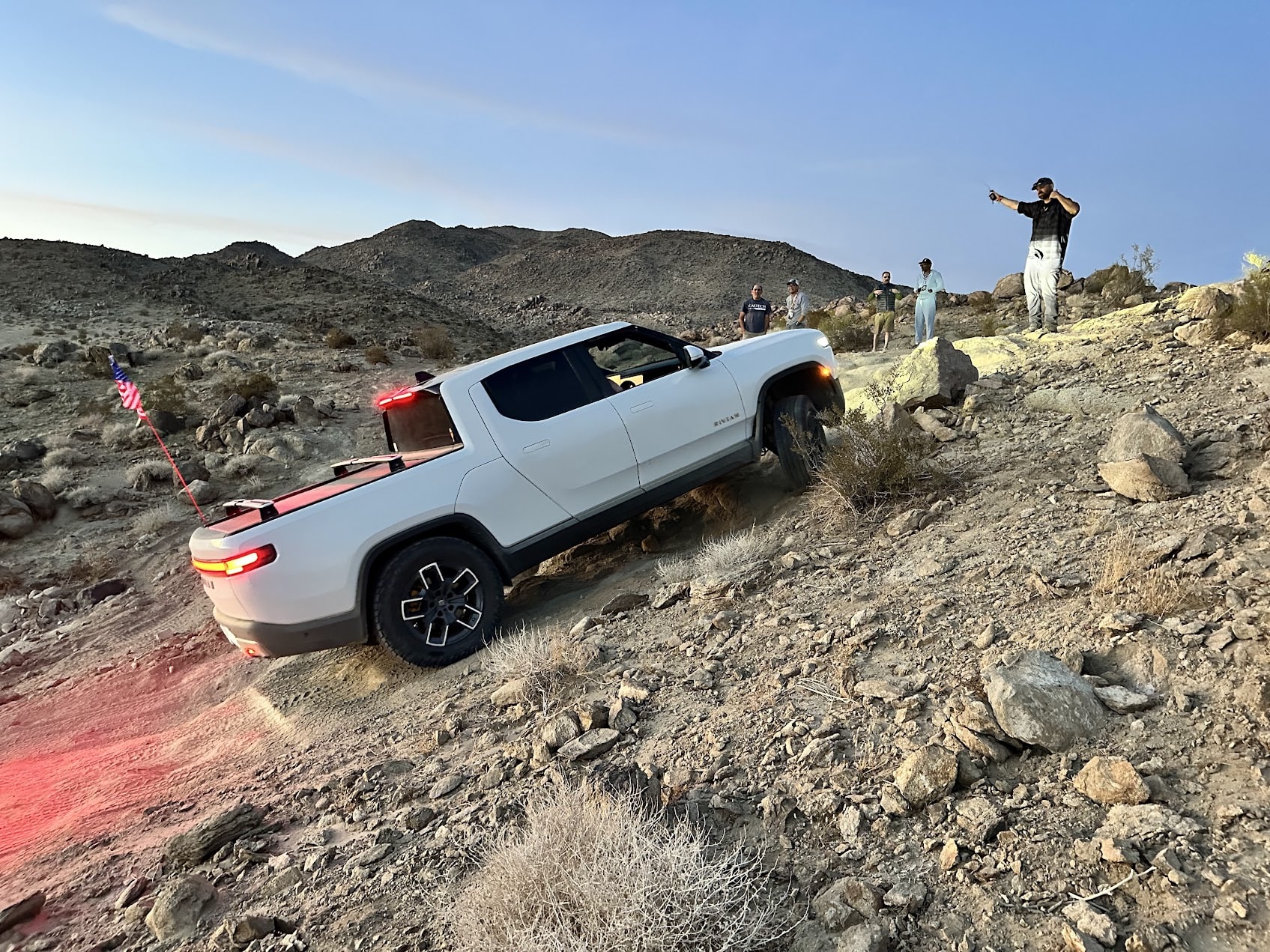
The loop could be suitable for Rivian all-wheel configurations, depending on the vehicle, wheel and tire setup, driver experience, and current trail conditions. Vehicles equipped with street-oriented tires should avoid sections that exceed their capabilities. It’s common practice to air down your tires, but vehicles and tires vary, so check the Owner’s Guide for recommendations. I’d also recommend carrying one spare tire per vehicle and also a repair kit.
For Drive Modes,² you'll exercise all of them on this route. That’s one of the attractions of the area.
Charging
Johnson Valley is remote, so plan to arrive with a healthy charge. The closest options are to the south in Yucca Valley and Joshua Tree:
Know before you go:
Weather & Conditions: The high desert has infamously changeable weather and wide day-night temperature swings. Rain and flash flooding are rare but serious; high winds can cut visibility to nothing. Do your homework and prepare properly.
Safety Protocol: Option lines abound and it's easy to get in over your head fast, so stay within your comfort level and use a spotter on the technical bits. Watch for sudden cross-ruts on the dry lakes. While mining and other structural remains are rare across the valley, explore them cautiously. The natural terrain is treacherous enough on its own.
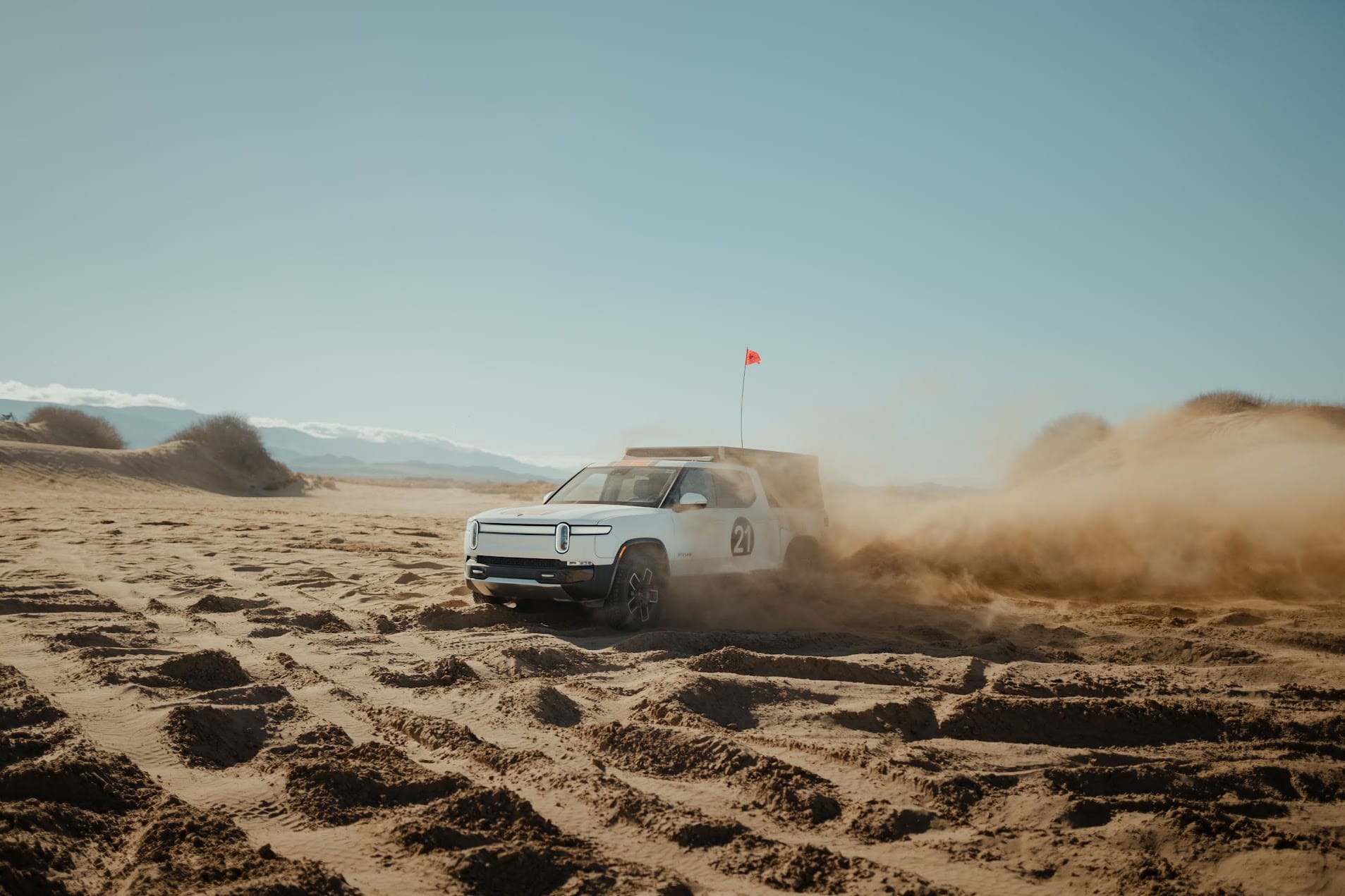
Flags: Flags are required on all OHV’s in this recreation area for visibility and safety—while not mandatory for street-legal vehicles driven in the space, it’s still a must-do any time you’re driving in dunes or other rolling terrain where sight lines are challenged.
Land Management & Wildlife: Johnson Valley is open-use BLM land with very few restricted-travel or private-property areas, but watch for fencing and signage and stay on established routes. The desert tortoise is rarely encountered but is endangered and protected; please don't handle one if you see it. Rattlesnakes are your primary hazard, especially on colder days when they'll be sunning on the same rocks you're exploring. The Bureau of Land Management manages the area. Check for closures and updates at blm.gov/visit/johnson-valley-ohv-area.
Final Thoughts From Matt
Rivian’s been the perfect intersection of my love for trucks, the outdoors and adventure—I love a challenge, too, and there hasn’t been a boring day here since I started!
Johnson Valley has a special place for us. The yearly Optima Unplugged event during King of the Hammers was the first large-scale temporary DC fast-charging install built specifically to draw EVs of all makes out to the desert. The Rivian Clubs of America have supported it and guided the daily trail runs for several years.
Alongside the trail drives, there's an annual scavenger hunt for the best piece of trash hauled in during the daily cleanup sweeps. Last year’s winner: an entire rear bench seat, unearthed from a sand wash and brought home in an R1S.
Rivian is committed to upholding Tread Lightly! best practices to put trail stewardship at the center of every off-road adventure. Wherever you go, travel responsibly, respect the rights of others, educate yourself before you go, avoid sensitive areas, and do your part to leave the trail better than you found it.
The information provided in this article is intended for general informational purposes only. It does not constitute professional advice or expert guidance. Operate your vehicle responsibly, and only in areas and under conditions that match your experience. In addition to consulting your Rivian Owner's Guide before engaging in this activity, always check local weather and other conditions, such as trail closures, fire restrictions, or other hazards, and where appropriate, seek professional assistance. While we strive to ensure accuracy, we do not assume any responsibility or liability for any inaccuracies, omissions or errors in this content, nor for any adverse outcomes resulting from your failure to assess and respond to real-world conditions.
Rivian clubs, including those organized under Rivian Clubs of America, are independent organizations created by the Rivian community. These groups are not affiliated with, authorized, sponsored, or endorsed by Rivian Automotive, LLC, or any of its subsidiaries. Participation in any of these community-organized clubs is entirely voluntary and at your own discretion. All activities, events, statements, and opinions expressed by these clubs or their members are completely independent of Rivian Automotive, LLC, and do not represent the company in any capacity. Unless otherwise stated, Rivian is not affiliated with any businesses or organizations mentioned in this blog post.